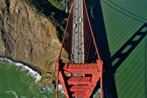
Golden Gate Bridge
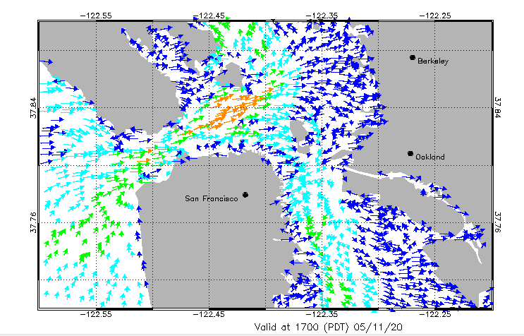
San Francisco Bay is the largest estuary on the west coast. It connects a watershed of ~155,000 sq km (60,000 sq mi) with the Pacific Ocean. The three interconnected embayments of the lower estuary, San Pablo Bay, Central Bay, and South Bay connect through Suisun Bay to the Delta. The Delta used to be fed by the Sacramento, San Joaquin, Mokelumne, and Cosumnes rivers, but since the arrival of Europeans, large portions of the Delta were converted to farmland and today it is a highly engineered ecosystem with much of its fresh water diverted to California’s population centers and to support Central Valley agriculture. The Central Bay is the most urbanized region, and the South and San Pablo Bay shores have also been modified by coastal development.
SF Bay Shore Stations
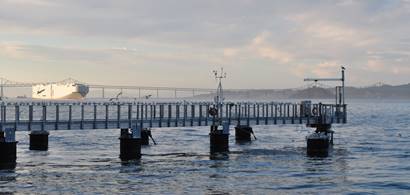
CeNCOOS supports three (3) coastal oceanographic observing platforms in the San Francisco Estuary, all but one of which are in the Central Bay (the most saline and deepest region of the estuary). The Fort Point shore-mounted oceanographic sonde is located at the Golden Gate strait where the Pacific Ocean meets the estuary in the Central Bay. Pier-mounted oceanographic sondes are located at Carquinez Strait (Cal Maritime), where freshwaters from the upper estuary flow into San Pablo Bay, and on the Tiburon Peninsula (SF State Estuary & Ocean Science Center). Water temperature and salinity are measured at Fort Point. The Carquinez Strait and Tiburon Peninsula sondes measure a more diverse suite of parameters including those important to understanding the biogeochemistry of the estuary. In addition to water temperature, salinity and depth, they measure dissolved oxygen, pH (glass electrode sensor), turbidity and chlorophyll-a.


