Observations from satellites are an essential component of ocean observing systems. Earth observing satellites orbit the Earth at an altitude of 500 to over 20,000 miles and collect imagery that allows us to measure ocean conditions including sea surface temperature, ocean color, and sea surface height. Satellite data can be used to identify and track ocean fronts, marine heatwaves, harmful algae blooms, oil spills, and other plumes.
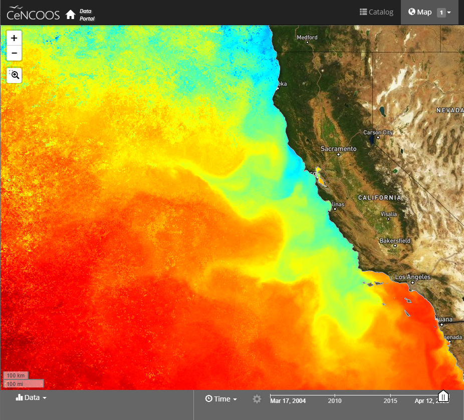
AVHRR (Advanced Very High Resolution Radiometer) is a sensor on NOAA’s Polar Orbiting Environmental Satellite (POES). The AVHRR image resolution of about 1 km. The instrument is broad band with 4-5 bands sensing in the visible, near infra-red and thermal infra-red.
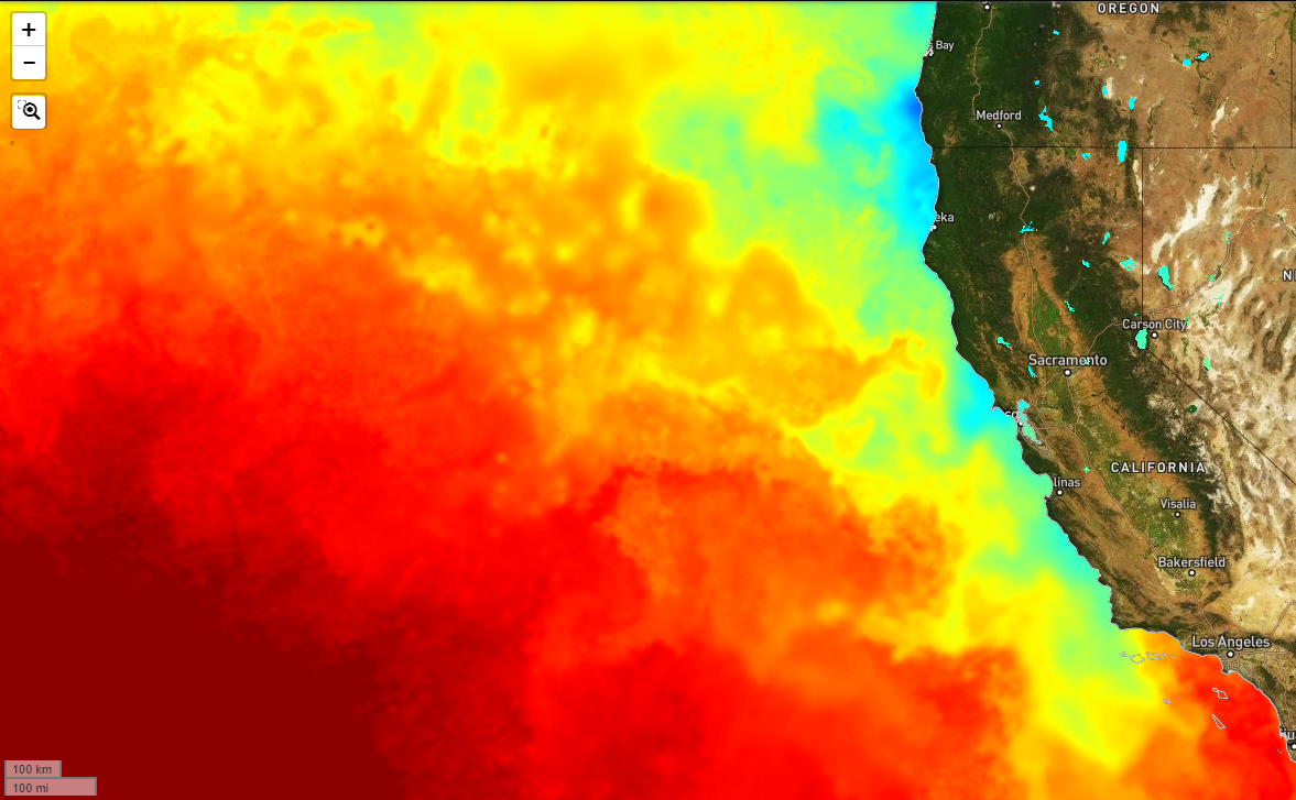
GHRSST (Group for High Resolution Sea Surface Temperature) is a product that merges various satellite SST products to create a high resolution SST map over the globe. The intention of the product is to use all satellite products to produce a cloud free daily image of sea surface temperature over the globe at 1 km resolution. Where clouds exist a lower resolution microwave estimated SST is used and up-scaled.
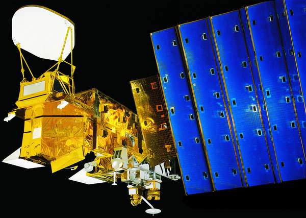
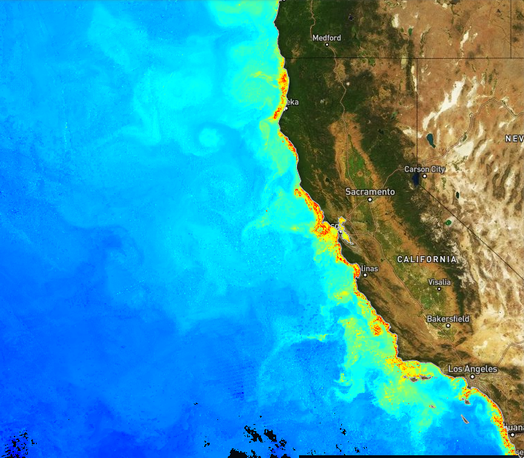
Chlorophyll is estimated using Moderate Resolution Imaging Spectroradiometer (MODIS) on NASA’s Aqua satellite.


