Category Archives: Sensor Platforms

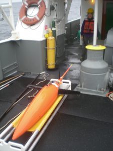
Trinidad Glider
Thursday, April 09, 2020 - 12:00amThis glider continuously transects from approximately 10km offshore of Trinidad Head to about 300 km offshore, repeating the line every 15-20 days. Gliders have been collecting observations along this track since late 2014. The most recent data from the active mission is plotted below and soon data will be available for download from the IOOS Glider […]


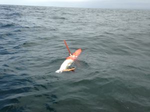
Pt Arena Glider Line 56.7
Thursday, April 09, 2020 - 12:00amCurrent Glider Position Track (blue line) and current location (red dot) A glider continuously transects CalCOFI Line 56.7 between Pt. Arena and 500 km offshore to the southwest. Gliders have been collecting observations along this track since 2019. The map on the right shows the current location of the active glider.The active mission data is […]


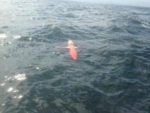
Spray 29 (Naval Postgraduate School/testbed glider)
Thursday, April 09, 2020 - 12:00amGlider Track Below are data from the Naval Post Graduate School SPRAY glider 29 deployed in May 6, 2019 in Monterey Bay. The map on the right shows the track of the glider. Plot Information: The contour plots below display water temperature, salinity, chlorophyll flourescence and optical backscatter from the surface to 500 meters depth. […]

