Category Archives: Sensor Platforms

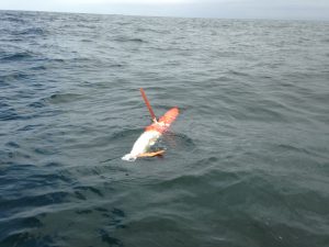
Spray 34 (MBARI/NPS glider)
Friday, July 17, 2020 - 12:00amGlider Track Below are data from the Naval Post Graduate School SPRAY glider 34 deployed in July 2020 in Monterey Bay. The map on the right shows the track of the glider. Plot Information: The contour plots below display water temperature, salinity, chlorophyll flourescence and optical backscatter from the surface to 500 meters depth. The […]


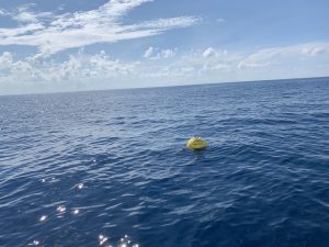
CDIP Wave Buoys
Monday, May 04, 2020 - 12:00amThe coastal Data Information Program (CDIP) specializes in wave measurement, swell modeling and forecasting, and the analysis of environmental data. The program maintains a number of buoys along the west coast of the United States including a number along California. They can be access using here: CDIP Wave buoys

