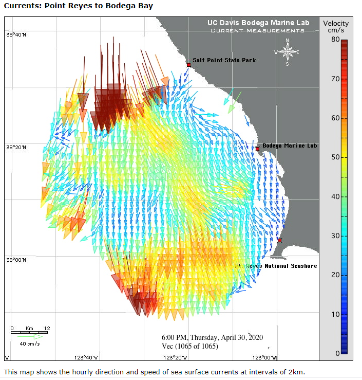
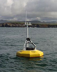
Bodega Bay, located just north of San Francisco Bay, is an important location for shellfish aquaculture and commercial and recreational fishing. The region is characterized by strong and persistent coastal upwelling and includes an area of maximum upwelling at Point Conception. Just offshore, the Greater Gulf of Farallones (include Cordell, Reyes, Bodega) provides habitat for top predators and everything in between, fueled by plankton that blooms in upwelling plume that streams south from Point Arena (GFNMS and CBNMS recently expanded north to capture this). Northern Gulf of Farallones (Drakes Bay) is an upwelling shadow that retains plankton that is exchange with San Francisco Bay and also discharges water that flows north around Point Reyes during relaxation of wind forcing – providing pulsed HAB habitat in fall. Secondary influences are associated with outflow from San Francisco Bay (winter and spring); other freshwater sources have only local impact, e.g., Russian River.
There are several time-series stations between Golden Gate and Cape Mendocino including:
- Fort Point CeNCOOS
- Fort Point NOAA tide gauge
- Point Reyes NOAA tide gauge
- Cordell Bank CeNCOOS/CBNMS – includes DO
- Tomales Bay CeNCOOS/BML – includes HAB and DO
- Hog Island Oyster Farm CeNCOOS/HIOC – OA site
- Sacramento Landing (Tomales Bay)
- Inverness (Tomales Bay)
- Bodega Head shore station CeNCOOS/BML – includes HAB (IFCB planned). Long history of observations back to 1960s.
- Bodega BML mooring – includes HAB and profiles
- Point Arena NOAA tide gauge
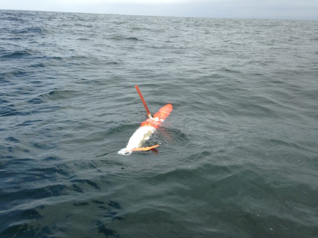
- Point Arena Glider
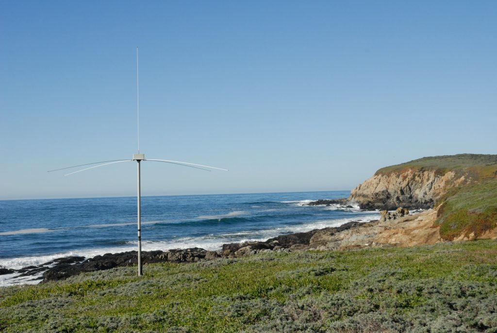
- HFR Stations

